Tuesday 20 December 2022 - Publications

Author
Sacha Di Giandomenico, Geophysicist, Geostock
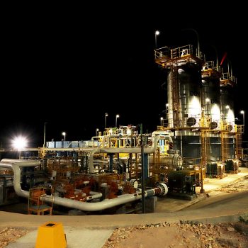
InSAR technology helps operators monitoring subsidence of their installations.
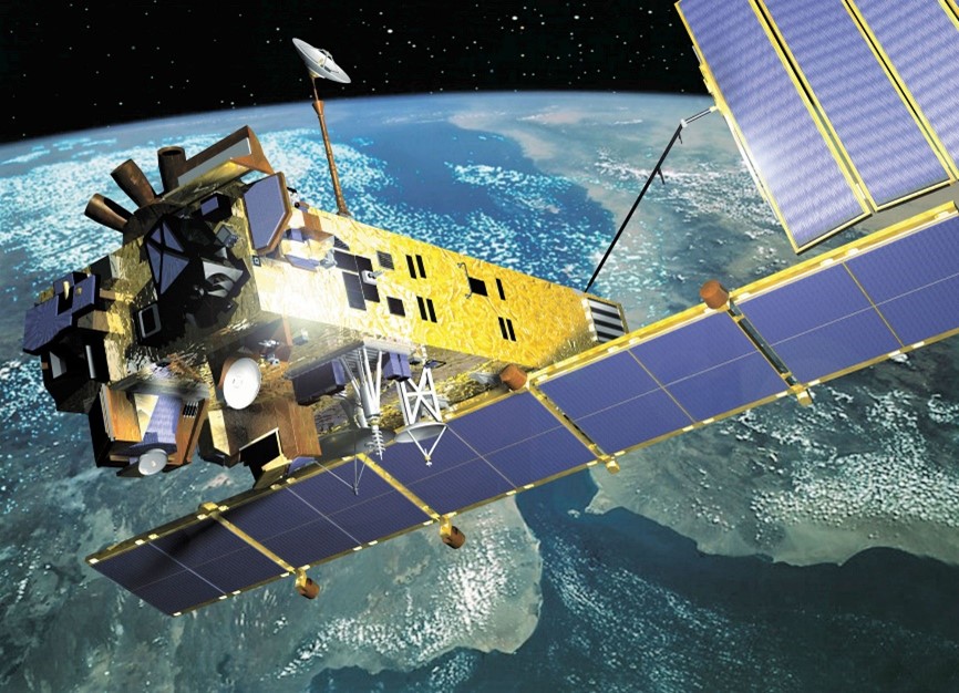
Spaceborne remote sensing systems can be divided into two categories according to the sensor type : radio system (i.e. RADAR imagery) and optical system (e.g. SPOT imagery).
The SAR satellites (ex. RADARSAT, COSMO-SKYMED, TERRASAR-X…) orbit the Earth on a near-polar orbit at an altitude ranging from 500 to 800 km.
Interferometric Synthetic Aperture Radar, known as InSAR, is a specific satellite-based technique using RADAR data for mapping Earth’s topography and ground deformation by estimating, with a millimetric accuracy, very small surface movements up to decimetric variations over time.
The InSAR technology has been developed in the 1990s and the combination of the InSAR technique and the Geographic Information System (GIS) allows to perform spatial analysis to detect ground movement resulting from geological phenomena and/or anthropological activities, in urban, industrial and natural areas. Initially used in Europe, North America and Asia to monitor landslides and civil infrastructures projects, InSAR technology has been extended around the world and found its applications for which an accurate timely response is required: tectonic or earthquake deformations, volcanic pre eruptions, slope displacements, buildings and infrastructures stability, mining and underground storages (CO2, hydrocarbon) and in general, any surface or object that may be affected by subsidence.
InSAR can be used as historical (area status before works) or current study (construction, management, maintenance).
Unlike the optical imagery, this technique works at night and is not affected by cloud cover. The acquisition is however limited by forest covered areas.
The radar sensors emit electromagnetic waves with a specific frequency (GHz) within the microwave domain (cm) and analyzed the reflected signals. A SAR image is a combination of amplitude and phase information. Amplitude data depends on sensor parameters and target physical properties and defines the amount of energy backscattered by each ground-surface pixel. Phase information is related to the signal travel between the radar antenna and the target on the ground surface. The InSAR technique is based on the phase measurement and image data comparison.
Over the concerned study area, when a point (pixel) on the ground moves, the radar-ground distance changes, affecting the phase information. Consequently, any displacement of the ground target creates a phase shift and can be detected with specific algorithm (analysis and comparison of phase values acquired at different time regarding to a reference point). The size of the ground-pixel is depending of the satellite : 3×3 m² for COSMO-SKYMED, 5×20 m² for SENTINEL.
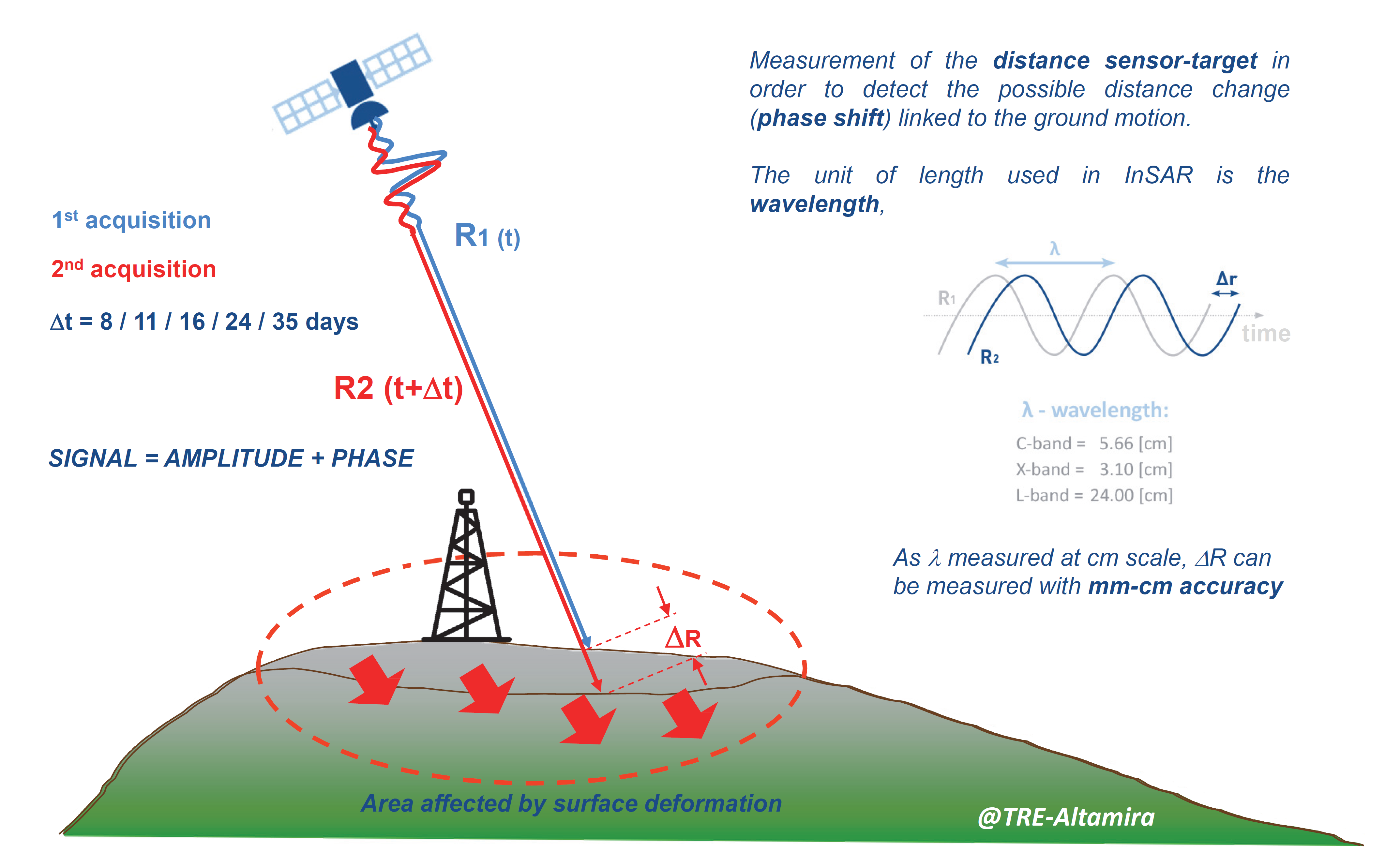
Principle of InSAR measurement
The InSAR technology has evolved since its beginnings. The last methodology developments combine several processing techniques and algorithms to provide high precision measurements for all ranges of ground displacement, even in non-linear deformation areas.
The big number of processed ground pixels allow to create a reliable statistical base of ground measurement points and to identify which pixels contain usable information and which contain noise.
Whatever the used satellite and the type of measurement points, the InSAR study delivers the following information :
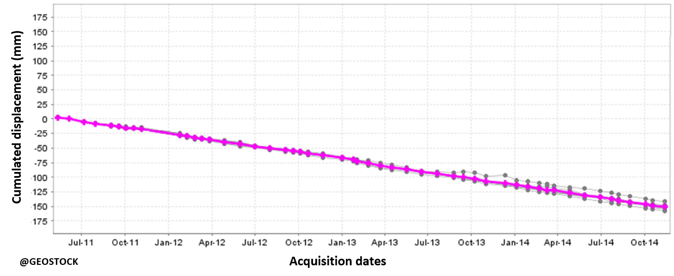
Example of time series (point with significant subsidence)
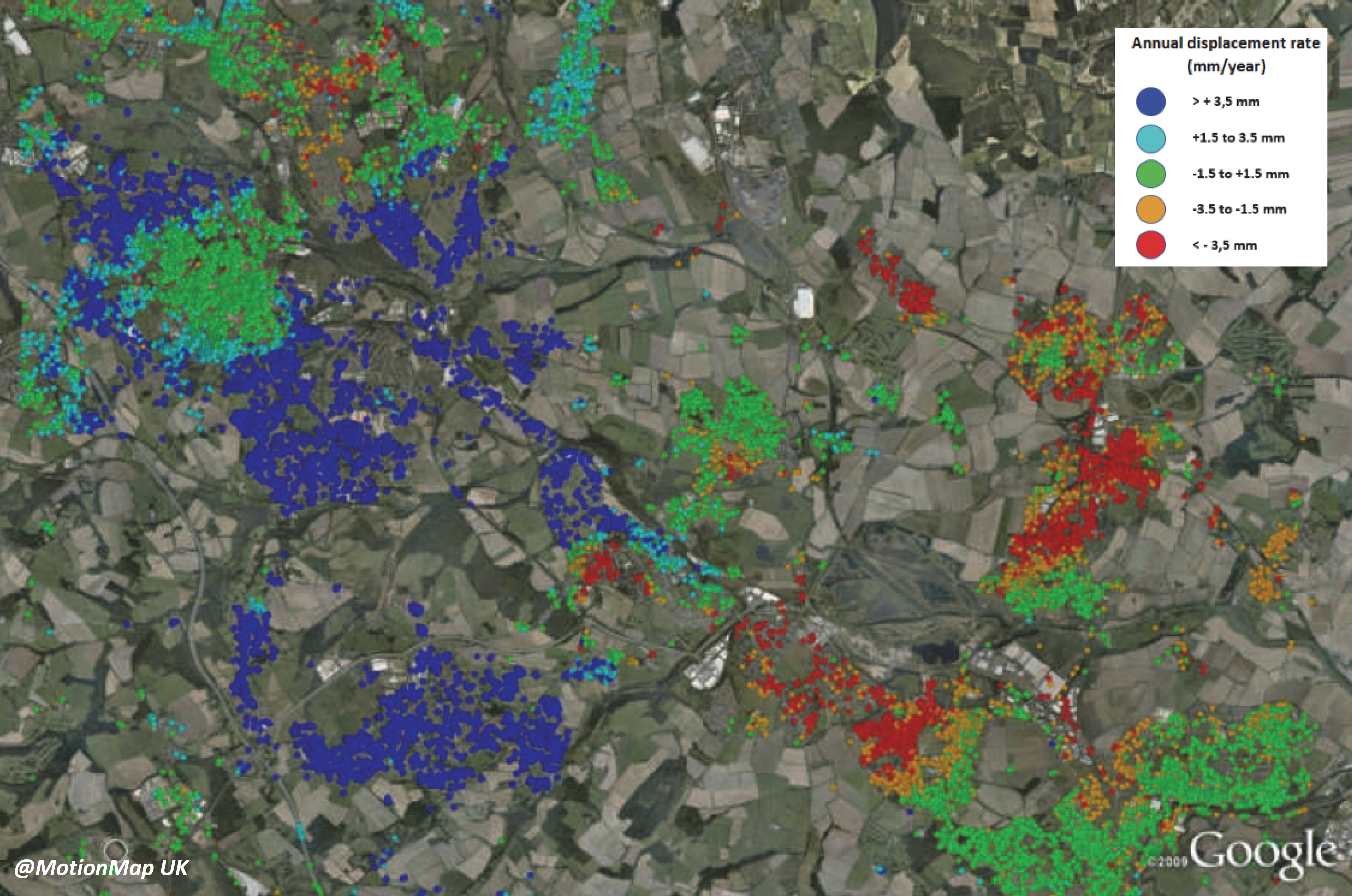
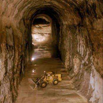
Example of annual displacement over one mining activity site
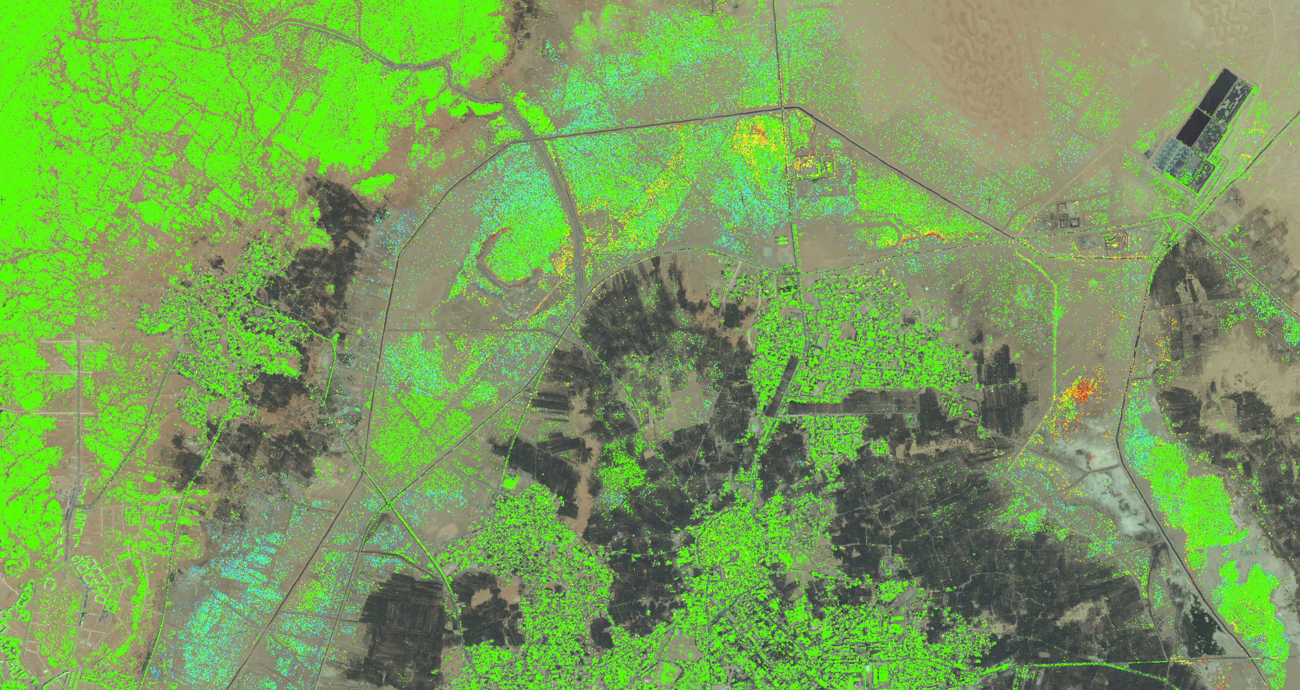
Example of cumulated displacement over an urbanized area in desert environment
InSAR can be used as complementary monitoring to other ones such seismic, geomechanical or hydrogeological since it
The InSAR technology presents several advantages including:
Geostock uses this technology since 2008 over a critical subsidence area and for several years over underground storage projects (leached salt caverns, depleted field).